Foresta 2000
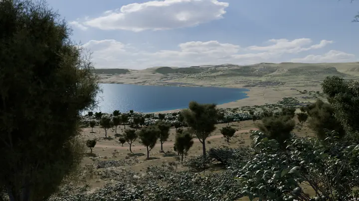
Foresta 2000 is a public nature reserve of about 104 hectares, planted as woodland on the slopes above Għadira Bay near Mellieħa. BirdLife Malta says hikers, tourists, Mellieħa residents and school groups use it often.
10 outdoor places across Malta, Gozo and Comino for your own practice. Each one shows today's sun times, how to reach it, what the ground is like and what to watch out for.
Foresta 2000 is a public nature reserve of about 104 hectares, planted as woodland on the slopes above Għadira Bay near Mellieħa. BirdLife Malta says hikers, tourists, Mellieħa residents and school groups use it often.
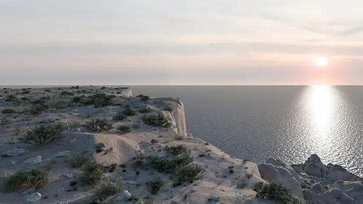
A cliff-top viewpoint inside Il-Majjistral Nature and History Park, reached on foot from Golden Bay. The park's habitats include garrigue, maquis, boulder scree and coastal cliffs.
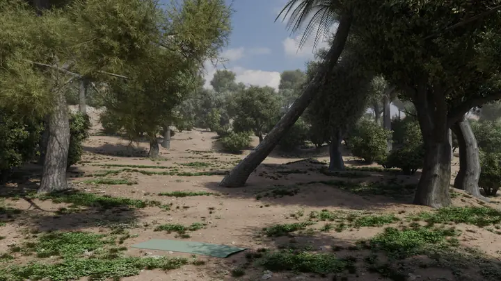
Buskett is government-owned woodland in central Malta, with marked picnic sites among the trees on map data. This point is one of those picnic sites.
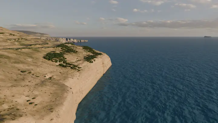
A mapped viewpoint on the Dingli Cliffs, about 170 metres from the coastline on map data, with the cliff directly below. It lies inside a Natura 2000 site.
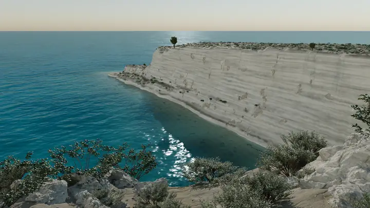
A nature park of over 155,000 square metres on the south-east coast, run by Nature Trust - FEE Malta, with walking routes and information boards. The site also has a hostel and a Wildlife Rehabilitation Centre, and the operator lists daily school outings.
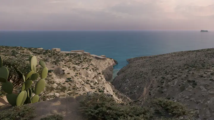
An unnamed mapped viewpoint on the south coast, east of Torri tal-Ħamrija and about 270 metres from the coastline on map data. It is about 1 km from the Ħaġar Qim temples and outside the Heritage Malta site.
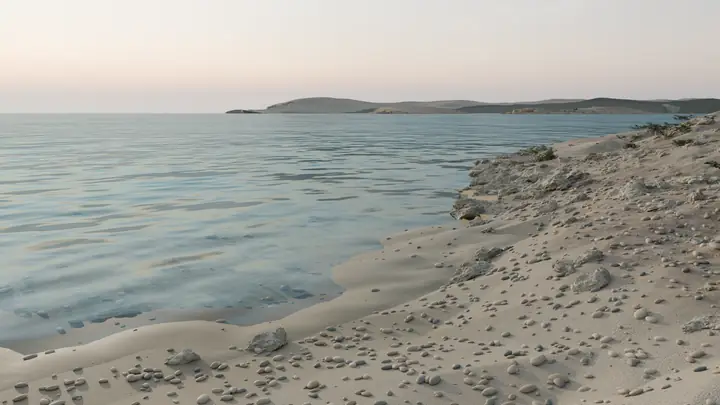
A small rock headland beside Ħondoq ir-Rummien beach, below Il-Qala on Gozo's south-east coast. Visit Gozo lists sunbeds, kiosks and water sports at the bay, and says it has Blue Flag status.
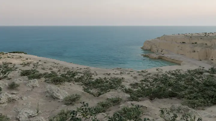
A stretch of coast path east of the bay at Daħlet Qorrot, on Gozo's north-east coast. The official walk sheet calls the bay a popular fishing and swimming site for locals and tourists.
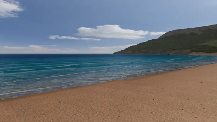
A sand beach on Gozo's north coast, about 400 metres long and 100 metres wide in the middle, with protected dunes behind it. Visit Gozo calls it popular.
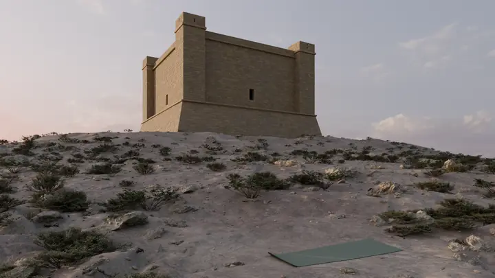
A high, exposed plateau of garrigue and hard limestone around Santa Marija Tower on Comino. Din l-Art Ħelwa runs the tower, which opens when its flag flies.
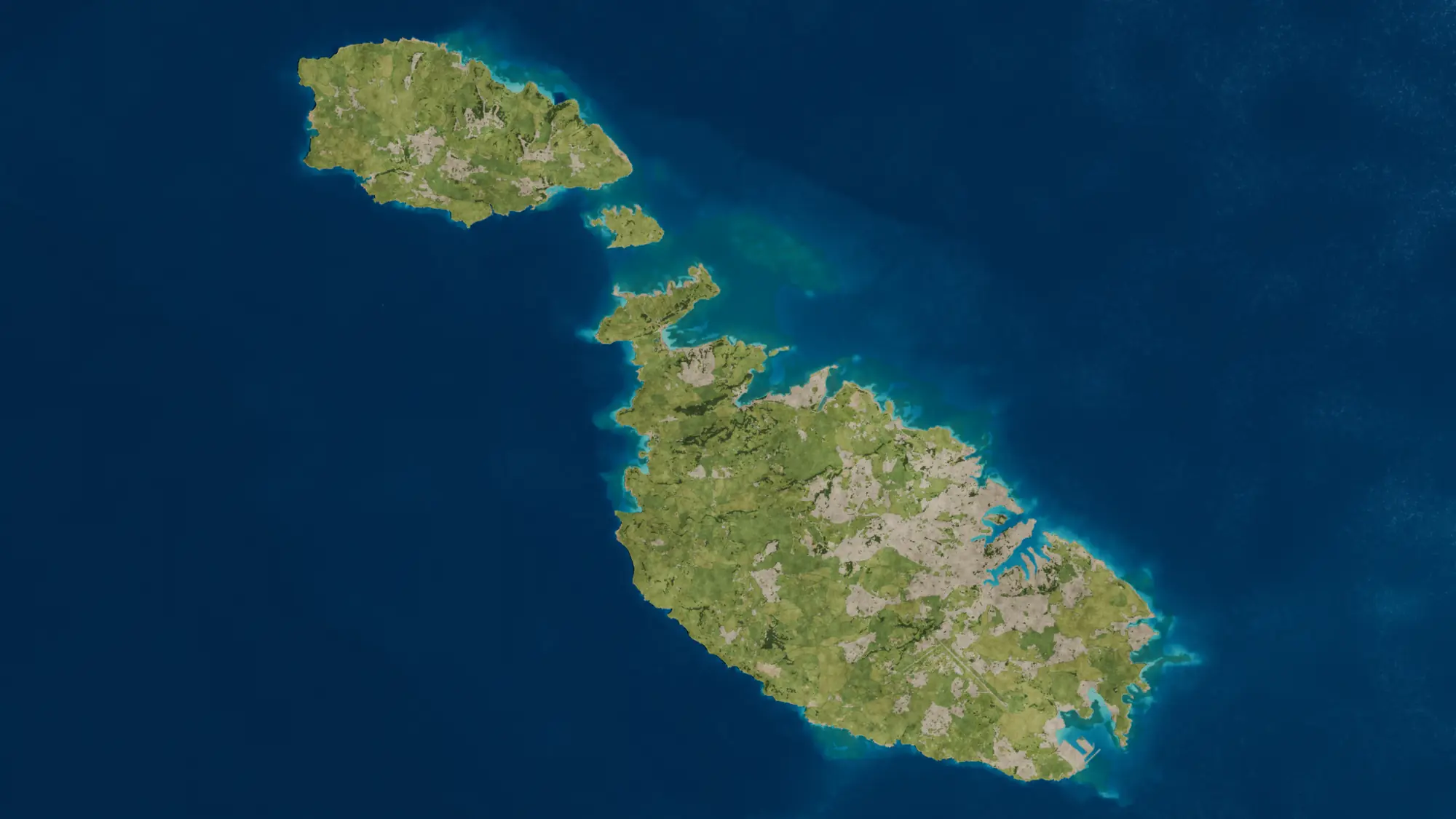
In an emergency, call 112. Conditions change, so treat these pages as a starting point and use your own judgement on the day. The pictures are illustrations made from real terrain data, not photographs. Terrain: Planning Authority Malta, Digital Terrain Model 2012 (CC BY 4.0) and Copernicus GLO-30. Coast and paths: © OpenStreetMap contributors. The overview map was produced using Copernicus WorldDEM-30 © DLR e.V. 2010-2014 and © Airbus Defence and Space GmbH 2014-2018 provided under COPERNICUS by the European Union and ESA; all rights reserved.