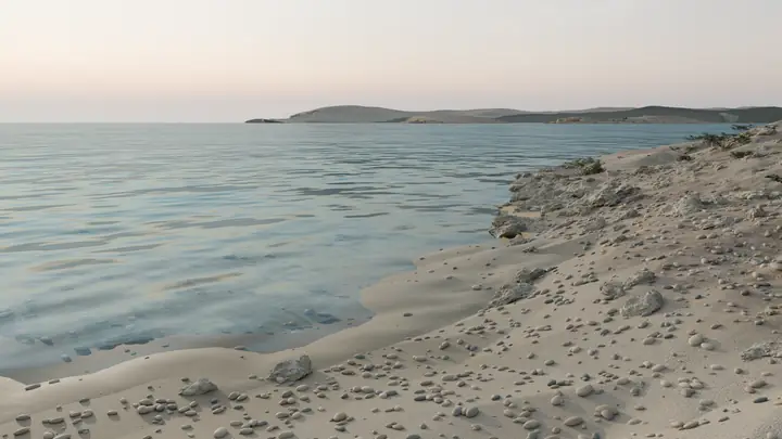
Ħondoq ir-Rummien
A small rock headland beside Ħondoq ir-Rummien beach, below Il-Qala on Gozo's south-east coast. Visit Gozo lists sunbeds, kiosks and water sports at the bay, and says it has Blue Flag status.
Gozo and Comino
Torri ta' Santa Marija
A high, exposed plateau of garrigue and hard limestone around Santa Marija Tower on Comino. Din l-Art Ħelwa runs the tower, which opens when its flag flies.

The official walk sheet recommends sunset from these cliffs, and from map data the sun sets over the sea from about September to March. The sheet says few people go along the coast or into the heart of Comino, and this point is about 106 metres from the cliff line on map data. Keep to rock and off the vegetation, as the sheet asks, because Friends of the Earth Malta reports trampling where walkers leave the paths.
Start: Bejn il-Kmiemen (Blue Lagoon), walking anticlockwise on the official Comino Walk of 7 km in all. Visit Gozo gives about three hours for hiking the whole island.
The walk: Easy, with some tricky stretches..
Surface: Coastal and valley main pathways.
Transport: Boats run from Ċirkewwa, Marfa and L-Imġarr. Visit Gozo gives about 15 minutes from L-Imġarr and 35 from Ċirkewwa.
A Natura 2000 site, classed as both a Special Protection Area and a Special Area of Conservation, and a listed bird sanctuary. Friends of the Earth Malta also reports nature reserve status.
| Mid-month | Sunrise | Sunset |
|---|---|---|
| January | 07:13 | 17:12 |
| February | 06:51 | 17:44 |
| March | 06:15 | 18:10 |
| April | 06:31 | 19:36 |
| May | 05:58 | 20:02 |
| June | 05:46 | 20:22 |
| July | 05:58 | 20:21 |
| August | 06:22 | 19:55 |
| September | 06:46 | 19:12 |
| October | 07:10 | 18:29 |
| November | 06:40 | 16:57 |
| December | 07:07 | 16:50 |
Calculated for this location, in Malta time. Cliffs and hills can hide the sun for a little longer.
Classes indoors or run by these studios at their own venues, not at this spot.
 Yellow Rock Yoga Gozo 8 km
A small rock headland beside Ħondoq ir-Rummien beach, below Il-Qala on Gozo's south-east coast. Visit Gozo lists sunbeds, kiosks and water sports at the bay, and says it has Blue Flag status.
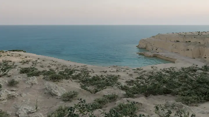
A stretch of coast path east of the bay at Daħlet Qorrot, on Gozo's north-east coast. The official walk sheet calls the bay a popular fishing and swimming site for locals and tourists.
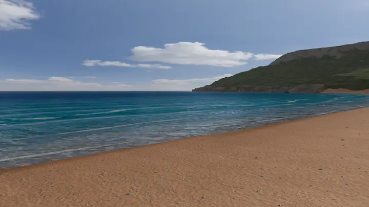
A sand beach on Gozo's north coast, about 400 metres long and 100 metres wide in the middle, with protected dunes behind it. Visit Gozo calls it popular.
All 10 places to practise in nature Our outdoor yoga guide The Malta yoga year, month by month